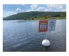
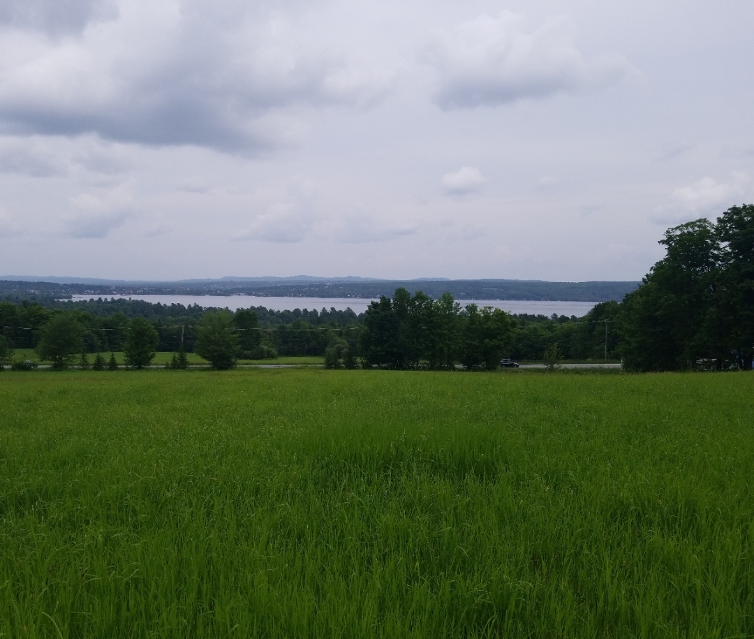
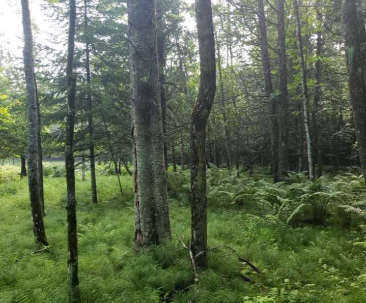
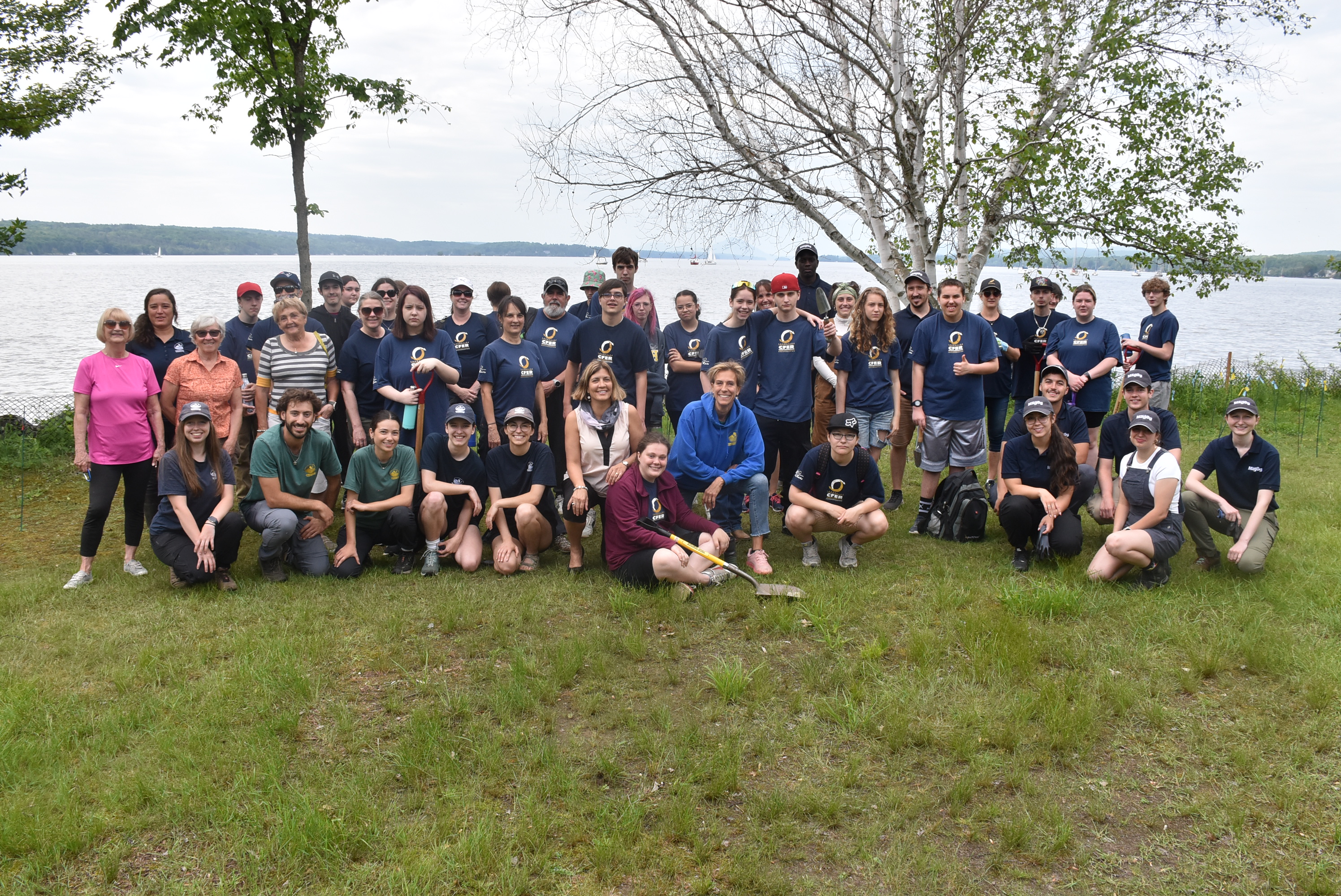
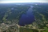
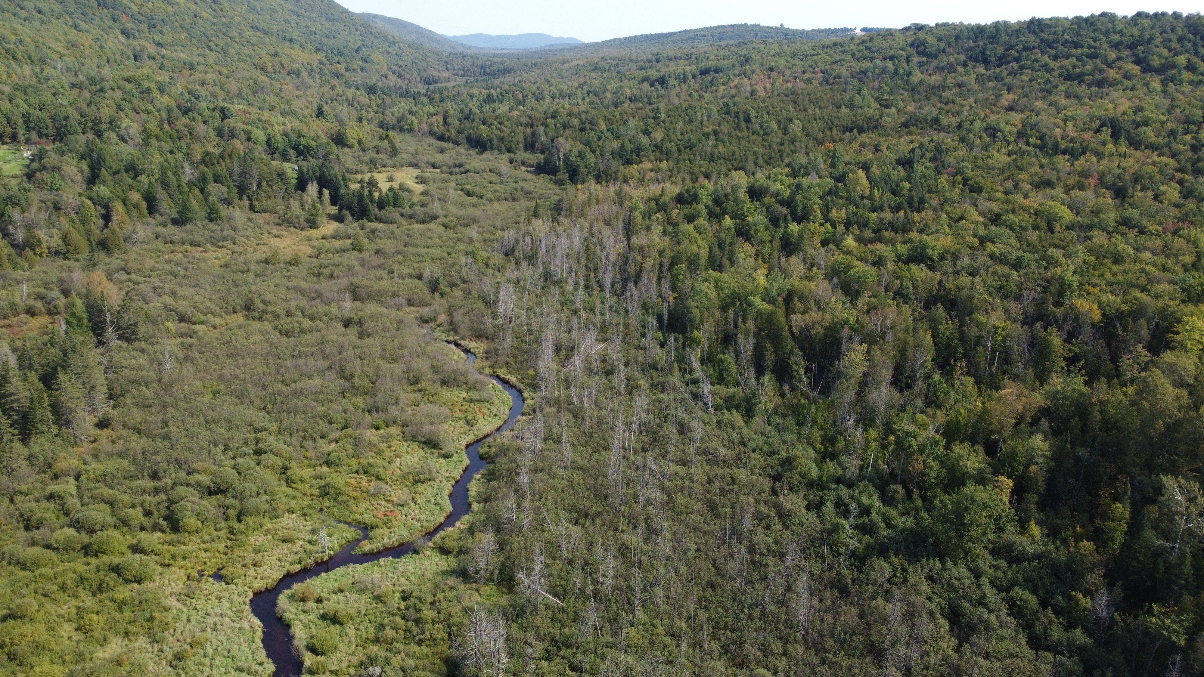
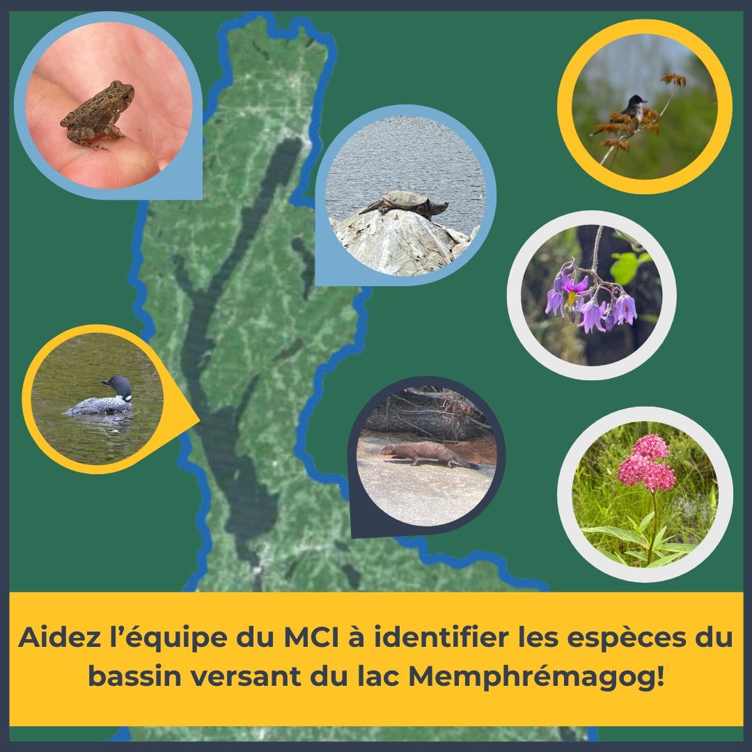
Lake Memphremagog's watershed
Lake Memphremagog's watershed, must be considered as a whole. In fact, all of the water that falls on the watershed ends up in the lake, bringing with it whatever it picks up on the journey. As a result, all of the human activity in the watershed has a cumulative effect. Thus, we treat the entire watershed as a single management unit, so as not to exceed the downstream lake's ability to support these activities.
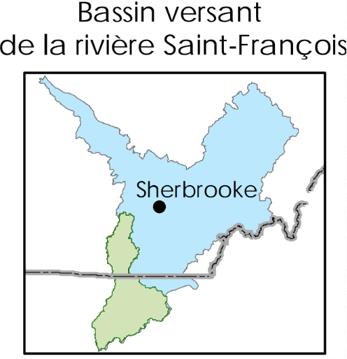
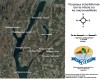
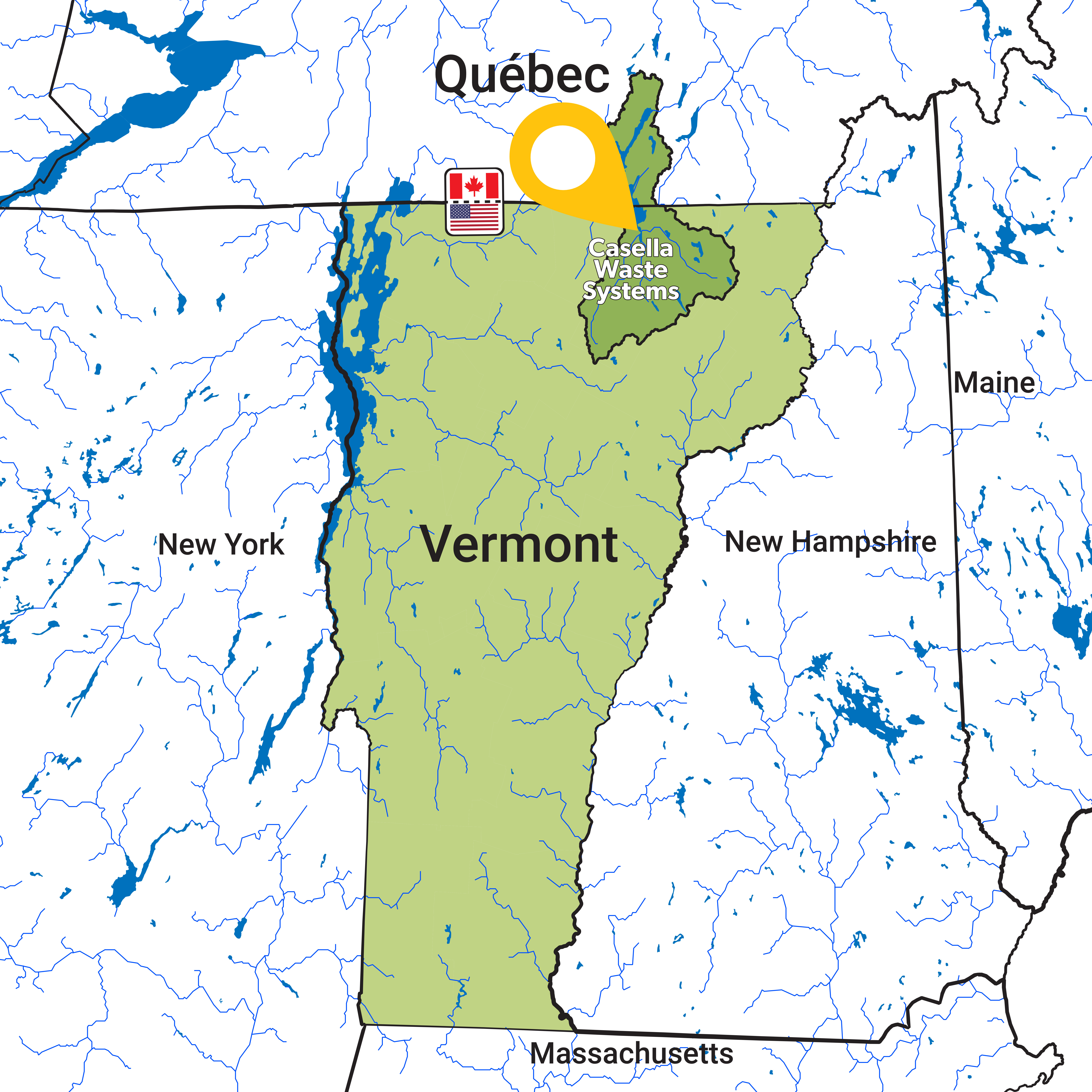
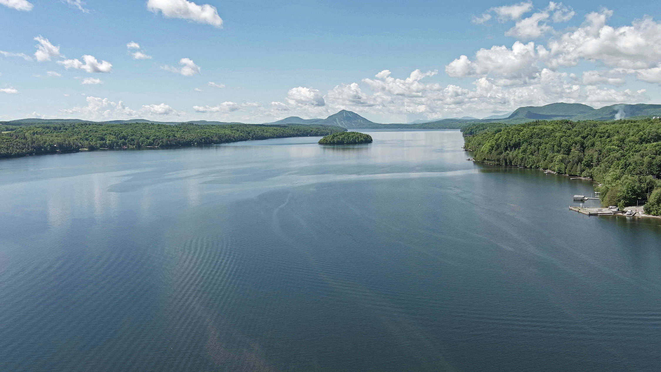
Oriented north-south, the lake has its source in Vermont, and flows out the via the Magog river then the St-Francis river. The lake's watershed thus is a part of the Magog river subwatershed of the St-Francius river watershed (see http://cogesaf.qc.ca (in French only)).
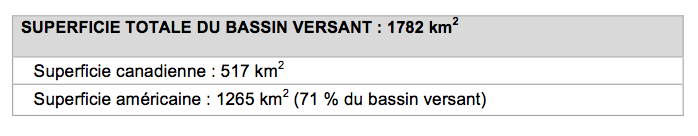
Table Source of the lake's water: 71 % comes from Vermontt (Memphrémagog MRC, 2009)
Snapshot of Lake Memphremagog's watershed
On the map below, Lake Memphremagog's watershed is outlined in green, and is a sub-watershed of the St-Francis river, shown in blue.
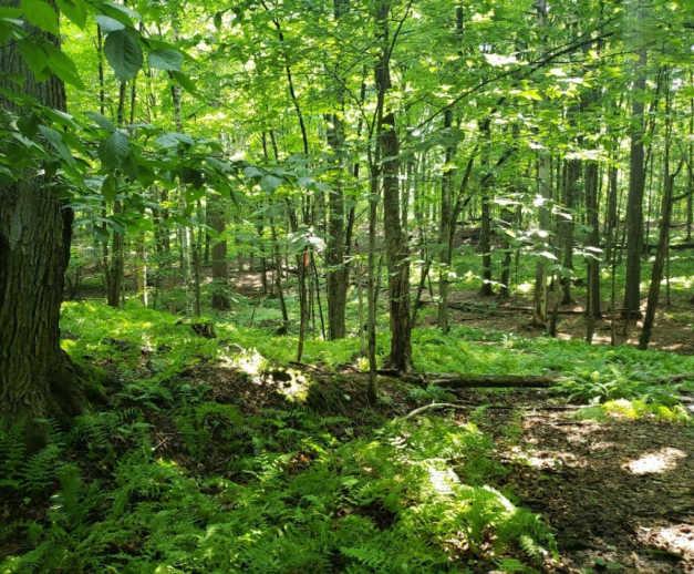
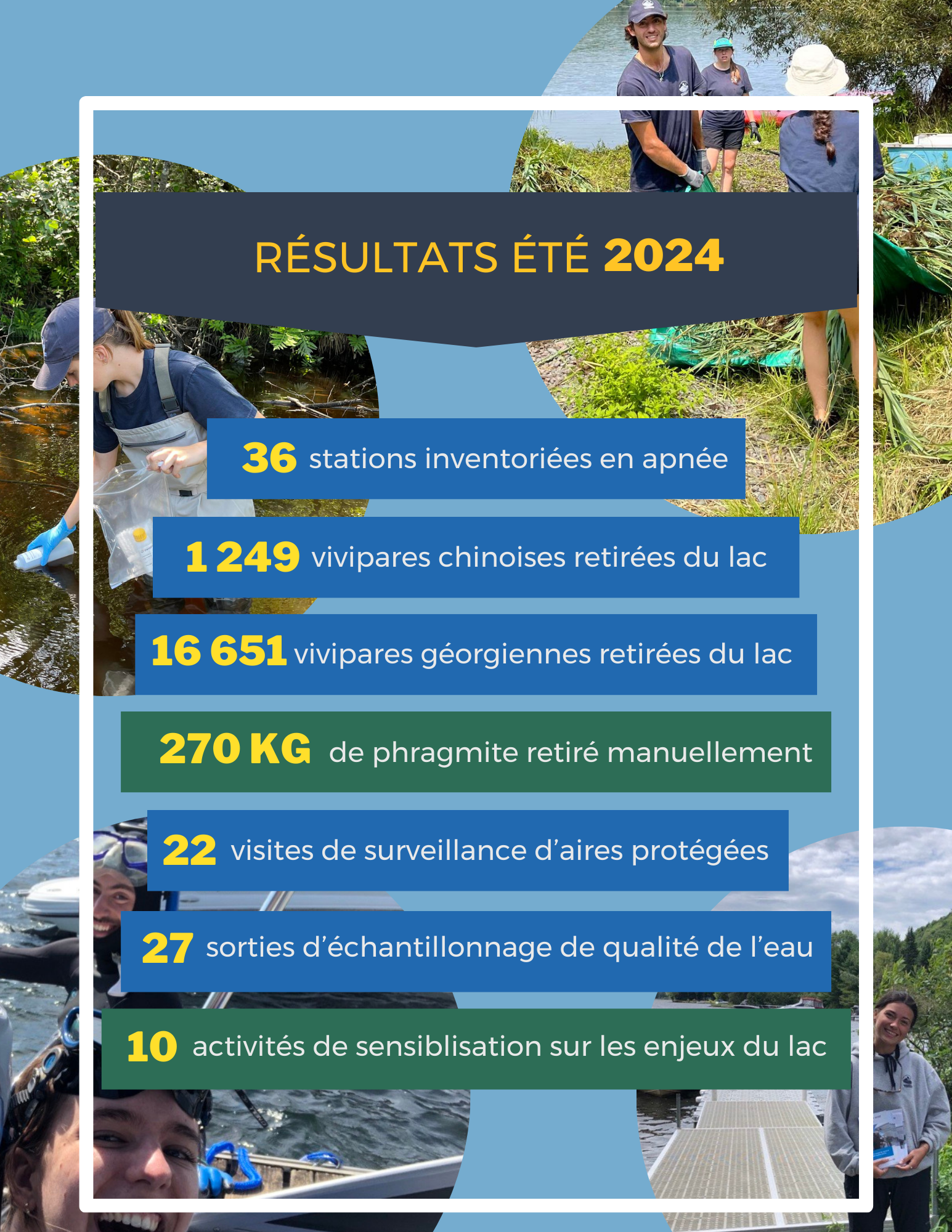
Briefly, Lake Memphremagog's watershed includes more than 100 tributaries and straddles two countries, as well as:
- 10 Canadian municipalities
- 4 waste treatment plants on the Canadian side
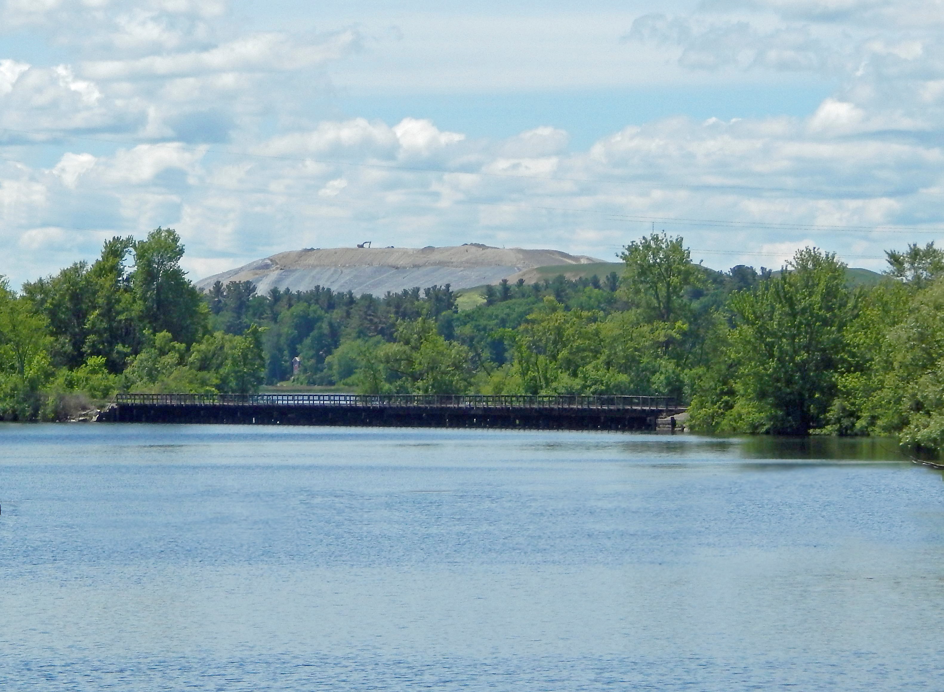
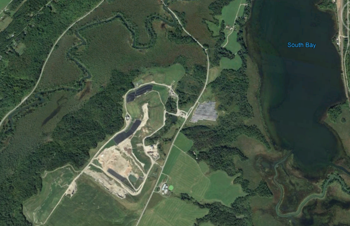
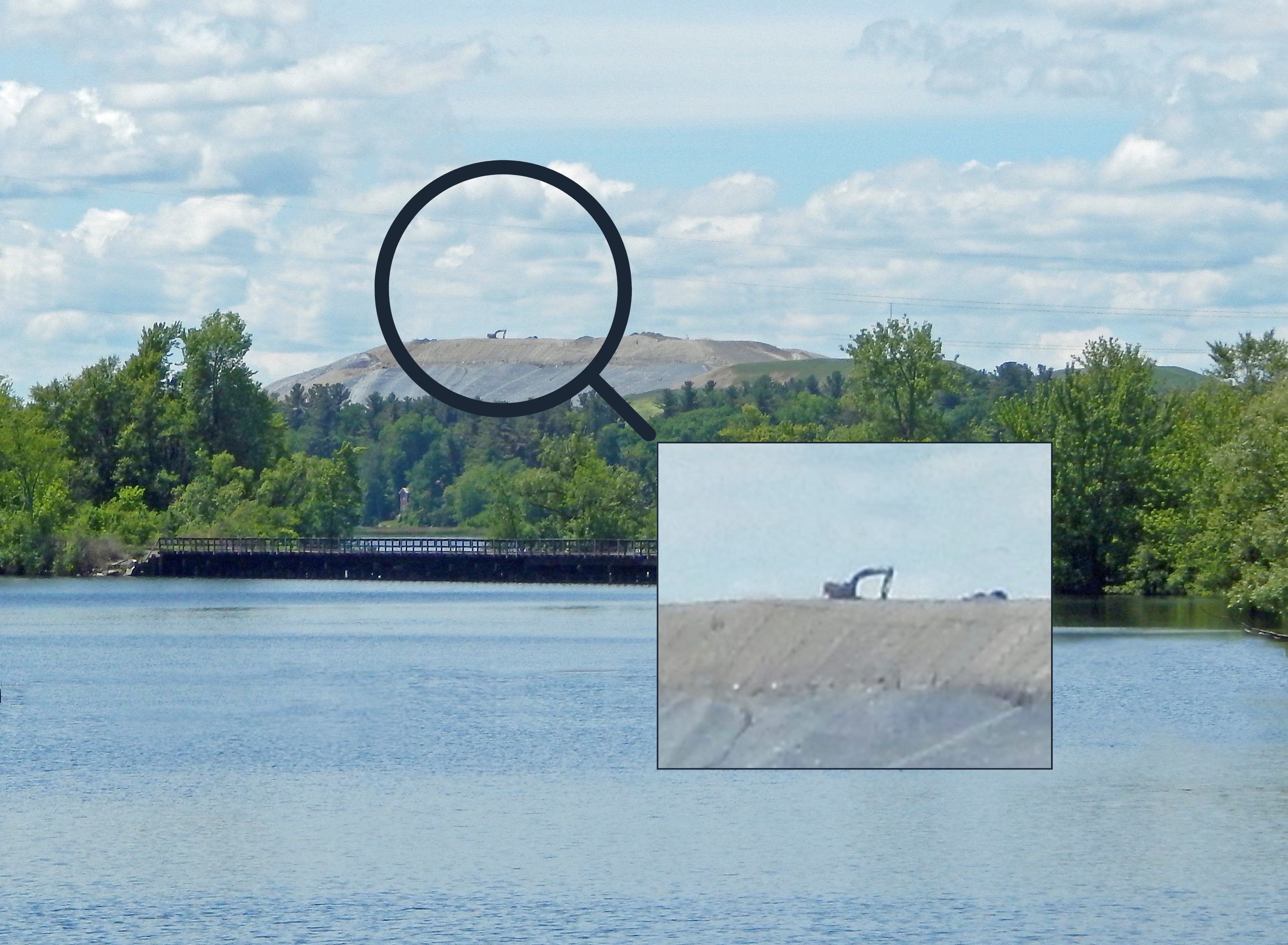
- 1 active landfill site
- 2 ski centres
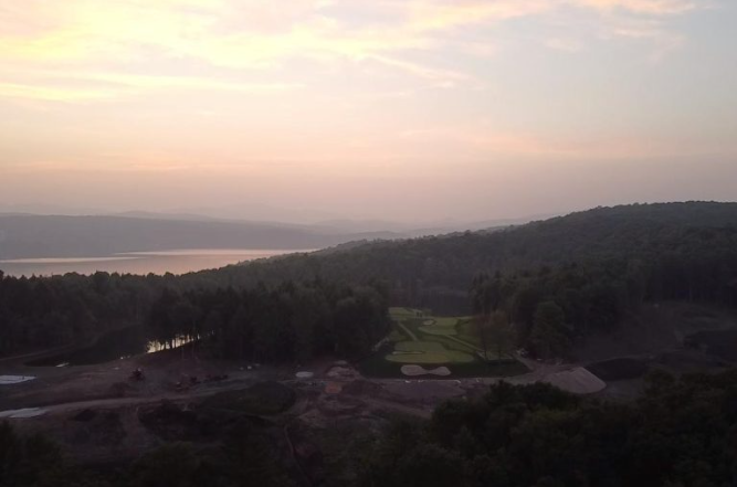
- 6 golf courses on the Canadian side
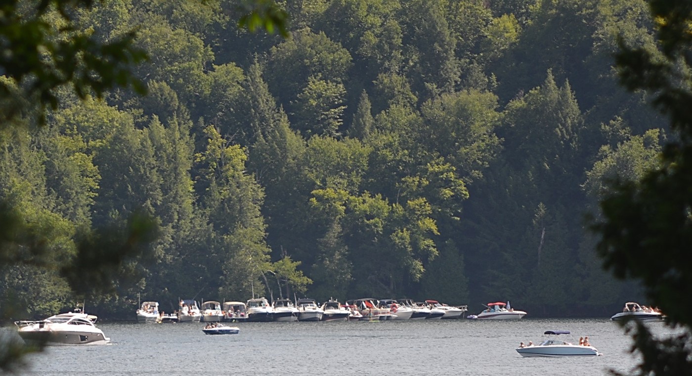
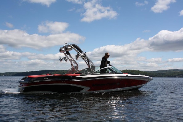
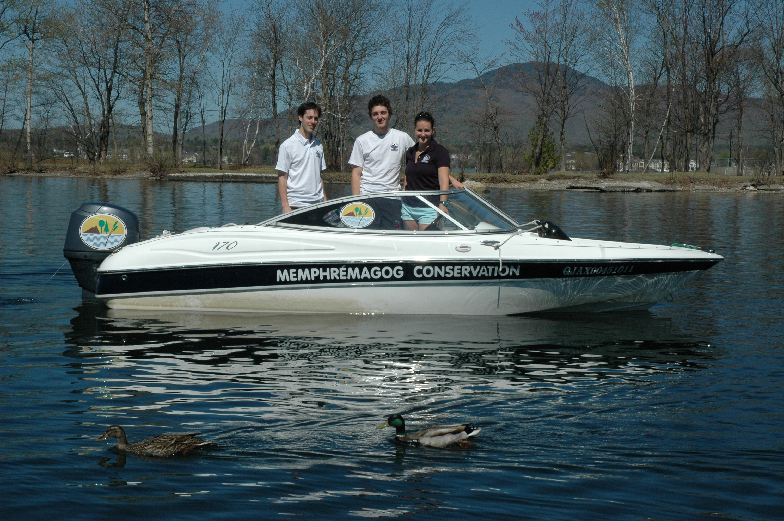
- more than 30 marinas
- more than 4,000 boats permanently on the Canadian side
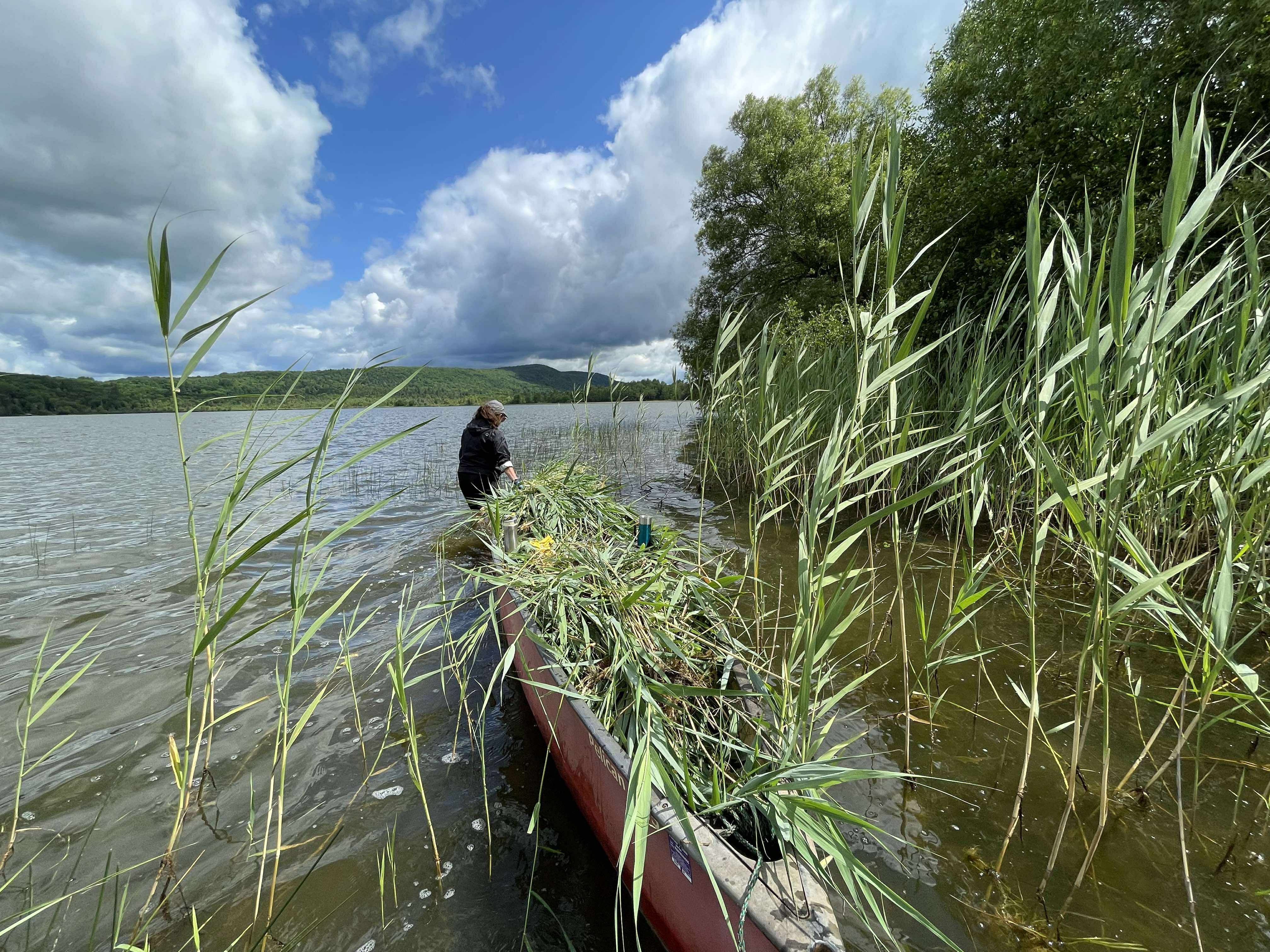
- recreotouristic, agricultural, forestry and industrial activities
- a significant residential development


.png)


.JPG)


.JPG)