Collaboration with local municipalities
The planning for the conservation of natural landscapes at the municipal level
Although the preparation of conservation plans is but one step in the process aimed at protecting natural landscapes, it remains essential to properly orient future actions. Conservation plans present a global portrait of the distribution of elements of ecological interest in the territory, identify natural landscapes of great ecological value or sensitive to certain types of development, and establish priority targets for conservation going forward.
For the city of Magog and the municipalities of Austin and Stanstead Township, the conservation plans are a part of a larger planning effort, aimed at revising their land use plans. The land use plan is the planning document that establishes the overall rules for the management of the territory while presenting a global vision of how the territory is to be developed (MAMROT, 2014 (in French only)). It provides a framework and orients the decisions regarding the use of the territory, ensuring coherence among the management decisions, such as road construction, residential development and the protection of the environment.
The conservation plan thus supports the planning of the spatial and physical layout of the territory, highlighting the areas to be protected, such as streams, rivers, ponds, lakes, wetlands and unbroken forest blocks, as well as areas sensitive to development. The identification of these areas of ecological interest allows for more harmonious planning, taking into account the natural landscapes that make the area attractive to live in. by knowing what areas to protect and the constraints related to urbanization, it becomes easier to identify areas for development and propose management measures that are more sustainable and respectful of the environment and the local community.
As well as its support of the global conservation orientation of cities and municipalities as an integral part of the land use plan, the conservation plan will also guide managers in their day to day decison making, so that the conservation of natural landscapes can be taken into account in the various files related to the uses of the territory. In this context, the conservation plan allows the City of Magog and the Municipalities of Austin and Stanstead Township to be ahead of their time, systematically integrating the protection of their natural landscapes, their biodiversity and the ecosystemic functions into the planning of the development of their territory.
Consult the conservation projects of the collaborating municipalities
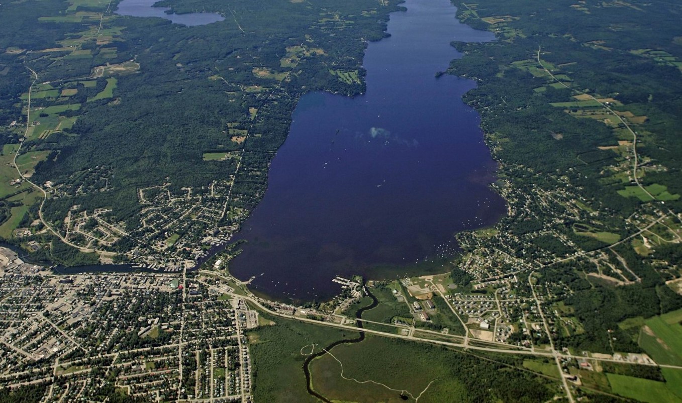
City of Magog
Portrait of the natural landscapes of ecological interest in Magog as well as its conservation plan.
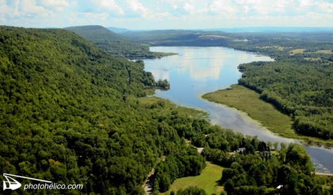
Stanstead Township
Portrait of the natural landscapes of Stanstead Township and their conservation plan.
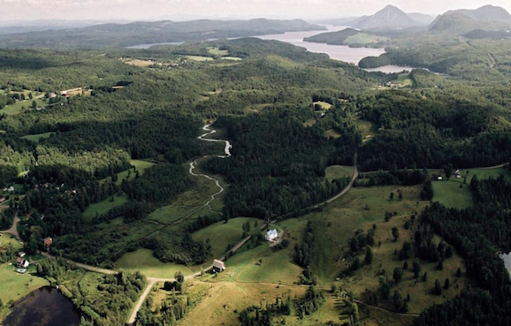
Municipality of Austin
Portrait of the natural landscapes of interest in the municipality of Austin, as well as a cartographic portrait of the ecoloogical elements of interest on mount Chagnon and a map of the extent of the Millington bog.
.jpg)
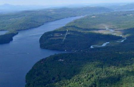
City of Magog and Municipality of Orford Township
Wildlife corridors project at Cherry River and Castle Brook.
Municipality of Ogden
Portrait of the natural landscapes and the conservation plan for the municipality of Ogden.